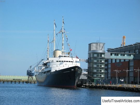
Djalovica pecina cave description and photos - Montenegro: Kolasin
Rating: 8,5/10 (5490 votes) 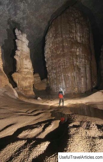
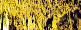
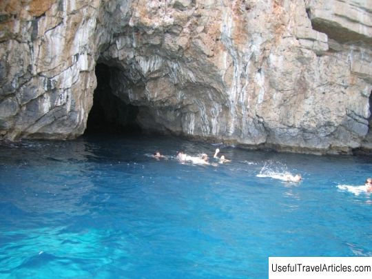
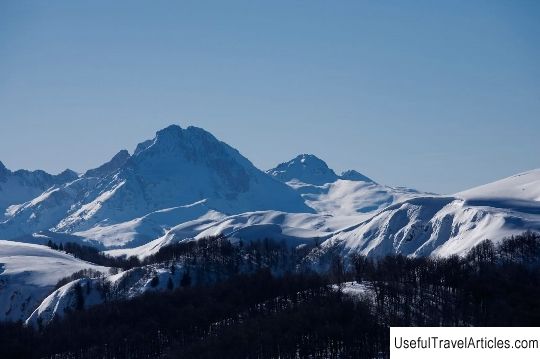
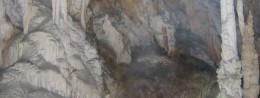
Djalovica pecina cave description and photos - Montenegro: Kolasin. Detailed information about the attraction. Description, photographs and a map showing the nearest significant objects. The name in English is Djalovica pecina. Photo and descriptionThe Djalovic Cave is located 25 kilometers from Bijelo Polje and is considered one of the most beautiful and largest in Europe. Scientists attribute the mountain to the youngest family to the Dinaric Highlands - to the Alpine folding; its geological age is no more than 65 million years. It is known that the process of mountain building in the regions of Montenegro has not yet been completed. In the rocky depths, nature has created and continues to create caves of unique beauty and scale with giant halls, rivers and lakes. For example, some of the arches of the Djalovic cave reach a height of 30 meters. Since 1987, Belgrade cavers began to study the Djalovic cave, this year is today called the year of its discovery. Presumably, the total length of the cave with its many branches is more than 200 kilometers. By 1997, over ten years of study, scientists have moved 10 kilometers into the depths of the cave, and then Czech cavers increased this number by another 9 kilometers. Djalovic's cave was in the so-called "unused state" for a long time. This is primarily due to its territorial location: the entrance is on the territory of Montenegro, however, the whole cave is on Serbian territory. Neither side was in a hurry to invest in development, fearing that someone would take advantage of other people's achievements. Despite this, experts from many countries continued to study the Djalovich cave, and as a result, everyone unanimously came to the conclusion that this object is not just a unique natural phenomenon, but it also has a tangible speleological value. The path to the cave runs from the town of Kolashin to the nearest settlement to the cave - the village of Dzhalovichi. This path takes about a couple of hours in time, from the village to the cave itself another hour of walking. The main entrance to the cave passes over two lakes, called Devil's Omuts. By the summer they usually dry up. Excursions to the cave are included in the category of extreme tourism, and therefore, only experienced speleologists, well prepared physically and psychologically, are allowed to descend. Today you can see about 2.5 kilometers of the cave. The excursion is long in time, inspection of only the cave itself after the descent takes about 4 hours, the ascent upward can take up to 2 hours. The main entrance to the cave passes over two lakes, called Devil's Omuts. By the summer they usually dry up.  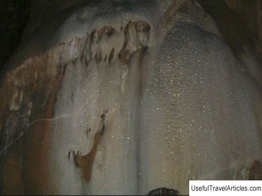 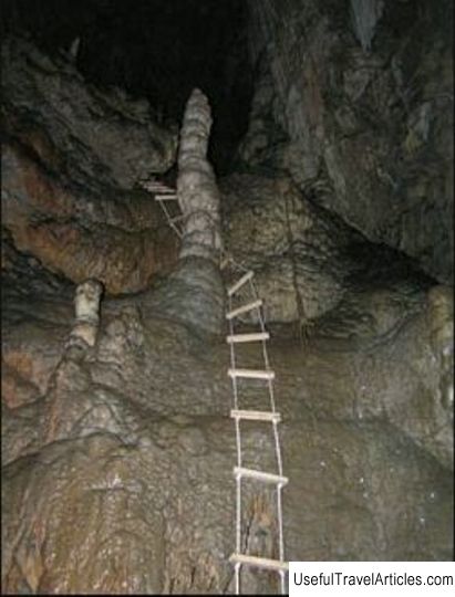  We also recommend reading Laglio description and photos - Italy: Lake Como Topic: Djalovica pecina cave description and photos - Montenegro: Kolasin. |