Malate description and photos - Philippines: Manila
Rating: 7,9/10 (7695 votes) 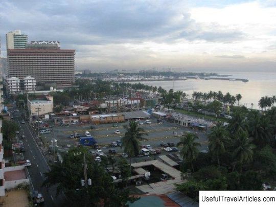
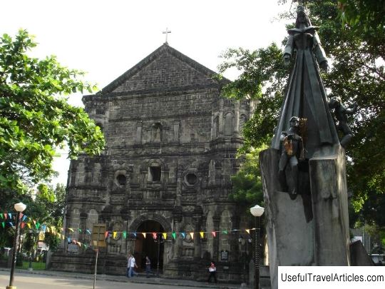
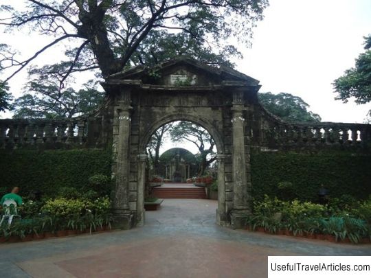
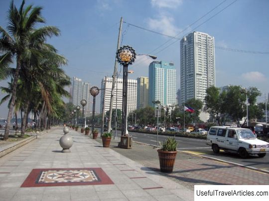
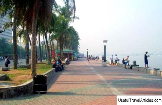
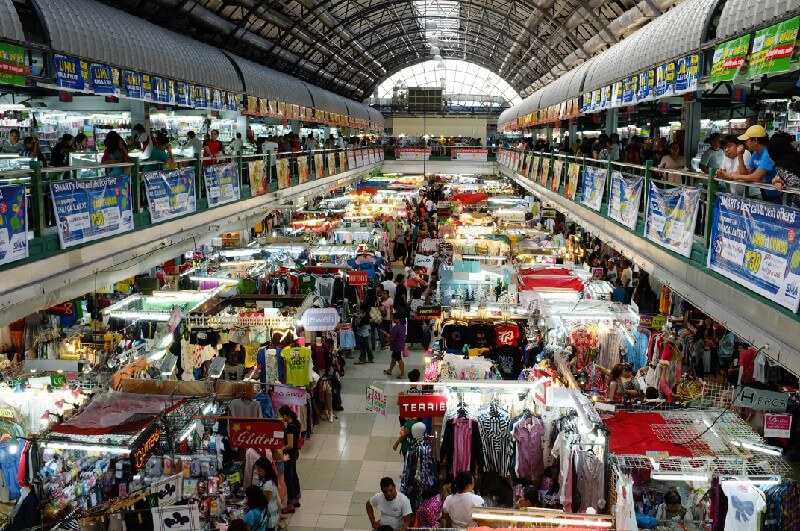
Malate description and photos - Philippines: Manila. Detailed information about the attraction. Description, photographs and a map showing the nearest significant objects. The name in English is Malate. Photo and descriptionThe Malate area is located in the southern part of Manila. It borders the Ermita area to the north and the Paco area to the west. The name of the region comes from the Tagalog word “ma-alat”, which means “salty”. According to legend, the tidal waters of the Manila Bay once flooded the part of the land where the area is located today. Salty sea water mixed with fresh water in wells, making drinking water as salty as sea water. Before the arrival of the Spaniards, there was a small fishing village on the territory of present-day Malate. In the 16th century, during the Spanish colonial period, the main center of the area was the Malate church, around which a whole cult among pregnant women later developed. It was believed that the patroness of the church, the Most Holy Theotokos, helps to happily release from the burden. When the Americans arrived in the Philippine Islands in the late 19th century, they saw Malate as the future exclusive residential area for American families. Emigrants from the USA, as well as families of Spanish mestizos, settled in modern high-rise buildings and spacious bungalows. After World War II, severe damage caused by the retreating Japanese occupation forces and mortar attacks by the Americans and Filipinos did not leave the area in ruins. The evacuated wealthy families who had left their luxurious homes in Malate returned and began to renovate their private estates. Until the 1970s, the Malate area was exclusively residential. Today Malate is conditionally divided into two parts: to the west of Taft Avenue are the estates of wealthy immigrants, and to the east are middle-class homes. The once exclusively residential area began to evolve into a commercial center with tenement buildings in the 1970s, and former apartments were slowly becoming small hotels or pensions. Restaurants and cafes appeared in Malate as a result of the “spill-over” of business from the nearby Hermita. It is in this Manila region that the Gay Pride takes place every year, and the area itself is considered the center of nightlife for adherents of non-traditional sexual orientation. However, the western part of Malate remains a quiet corner of the middle class, with student dormitories and schools. Here are the offices of the Department of Finance, several major banks and the headquarters of the Philippine Navy. Tourists will be interested in the country's first sports stadium - Memorial Sports Complex. Risala - and Manila Zoo and Botanical Gardens located in Malate. At the intersection of Roxas Boulevard and Pedro Gil Street, the Manila Bay embankment begins, where you can find cafes and restaurants for every taste and budget. In front of the Malate Church, there is the Raji Suleiman Park, the main attraction of which is the "dancing" fountains. A little further is the Remedios Circus, opened in 2006.         We also recommend reading Avenue of the Knights description and photos - Greece: Rhodes Topic: Malate description and photos - Philippines: Manila. |