Mount Saint Catherine description and photos - Grenada
Rating: 7,9/10 (663 votes) 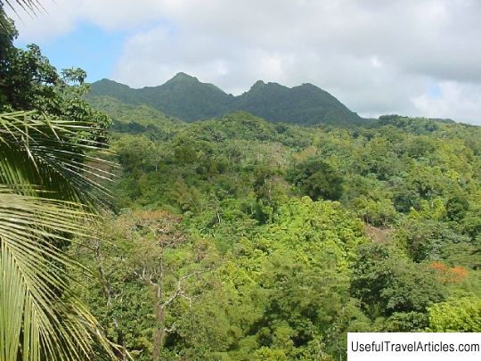
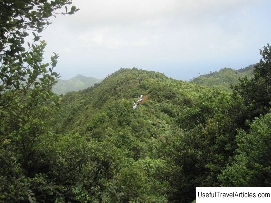
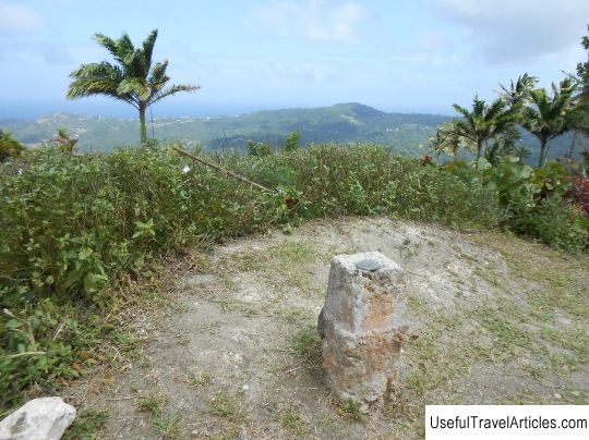
Mount Saint Catherine description and photos - Grenada. Detailed information about the attraction. Description, photographs and a map showing the nearest significant objects. The name in English is Mount Saint Catherine. Photo and descriptionMount St. Catherine is a stratovolcano and the highest point on the Caribbean island of Grenada. It is located in San Marco County, Victoria. It is the youngest of the five volcanoes that make up the island. The volcano has a horseshoe-shaped crater open to the east, with several domes of lava inside. A difficult path leads to the peak through a humid forest along blurred paths in places, but from above, when the summit is not covered with clouds, an excellent panorama opens up. To get to Mount St. Catherine, take a car with a driver from Victoria, because local maps are inaccurate and roads are confusing. As soon as you reach the dirt road, start hiking uphill. Follow the trail marked with red and yellow signs in the trees. Do not deviate from the route, it is easy to lose it in the thickets, some arrows are carved into trees, you may need a machete to break through the vegetation. There are hot springs and fumaroles in some places. Take care of your safety, do not camp at the top. The best time to climb is April, this is the end of the dry season, but the trail will still be muddy.  We also recommend reading Archivo General de Indias description and photos - Spain: Seville Topic: Mount Saint Catherine description and photos - Grenada. |