Parco dell 'Oglio Nord description and photos - Italy: Cremona
Rating: 8,4/10 (2839 votes) 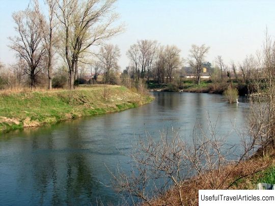
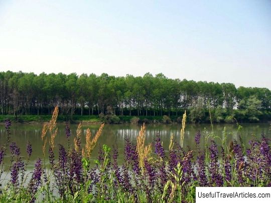
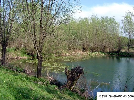
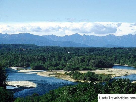
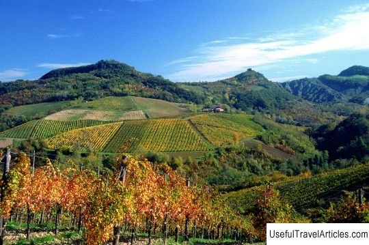
Parco dell 'Oglio Nord description and photos - Italy: Cremona. Detailed information about the attraction. Description, photographs and a map showing the nearest significant objects. The title in English is Parco dell 'Oglio Nord. Photo and descriptionThe Olo Nord Park is located where the Olo River flows out of Lake Iseo and flows towards Gabbioneta and Ostiano in the Italian region of Lombardy. The river flows among steep banks covered with forests and surrounded by cultivated fields. Here you can also find coastal areas with forests of special biological significance, as well as river bends with aquatic vegetation. The historical and architectural heritage of the park is no less interesting, for example, the Castel Pumenengo castle with towers and a characteristic square courtyard and the ruins of the Paratico and Roccafranca castles located on its territory. Despite the fact that the landscape of the park has been significantly changed as a result of land drainage, deforestation and intensive cultivation of poplars, there are still areas of untouched nature. The flat part of Olo Nord is a dense web of artificial reservoirs, forest thickets, roads and farms. In ancient times, a freshwater sea splashed between the rivers Adda, Serio and Olo, which was sometimes called a lake, and today there are thickets of maple, chestnuts, ash, poplars, hop grabs, alder, willow and reed. The forests are inhabited by hazel dormouse, hedgehogs, hares, moles and toads. If you're lucky, you might spot a weasel, stone marten, badger, or fox. The bird kingdom is represented by white and gray herons, owls, tawny owls, coots, woodpeckers, blackbirds and swallows. Recently, a huge necropolis with the remains of fortifications dating from the 2nd-1st centuries BC was discovered on the territory of the Olo Nord park, between the communes of Cividino and Pontoglio. And since in the 10-11th centuries the Olo River served as a border between the administrative regions, a number of corresponding structures were built along its banks, some of which have survived to this day in one form or another. Also in the park you can see 16 irrigation canals, dug back in the 13-16th centuries and still in use today. The main one is located on the left bank of the river and is called Fuzia.       We also recommend reading Church of Santa Croce description and photos - Italy: Florence Topic: Parco dell 'Oglio Nord description and photos - Italy: Cremona. |