Capul Island description and photos - Philippines: Samar Island
Rating: 8,3/10 (869 votes) 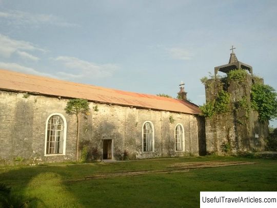
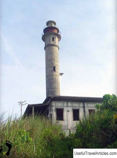
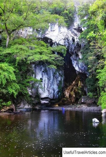
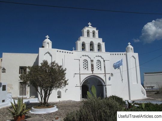
Capul Island description and photos - Philippines: Samar Island. Detailed information about the attraction. Description, photographs and a map showing the nearest significant objects. The name in English is Capul Island. Photo and descriptionKapul Island is part of the province of North Samar, part of the Philippine island of the same name. You can get here by boat from the town of Allen - the journey will take about an hour. Kapul is located in the middle of the San Bernardino Strait at the western tip of the Samar Island. The island is only about 14 km long and 5 km wide. Once it was called Abak by the name of the leader of one of the local clans who arrived here from Java. And the current name of the island comes from the word Acapulco - during the Spanish colonization trade galleons from this Mexican port often stopped here. Today the inhabitants of Kapula are engaged in coconut cultivation and fishing, it is a very poor island, but proud of its history and nature. An interesting fact - the inhabitants of Kapul speak a language that is not used anywhere else in the country, even on the island of Samar. Kapul is a real pearl of the province, still little known to the rest of the world. The island is not like other parts of the Philippines: life here flows calmly and slowly, there is not a single car on the whole island, no large shopping centers and no nightlife. However, if you want to relax and unwind, basking in the gentle sun on the amazing beaches, snorkelling to admire the picturesque corals and see exotic flora and fauna with your own eyes, Capul is the perfect choice. The island has caves, abandoned WWII Japanese bunkers, an old lighthouse and one of the oldest churches in the Western Visayas region. Here you can also see a watchtower built over 400 years ago! Capula Church dedicated to Saint Ignatius Loyola, surrounded by a square fort with bastions, which was designed to protect the temple from attacks by the Moro pirates. It is believed that it was built in the 16th century by Jesuit monks, but the exact date of construction is unknown. An old iron cannon can still be seen in the northeastern part of the fortress, and next to the church is a small chapel, possibly with a crypt. An interesting attraction of the island is the lighthouse, the construction of which began in 1896 under the Spaniards and completed under the Americans. The height of the lighthouse is 43.5 meters. It stands on a hill with a wonderful view of the San Bernardino Strait.        We also recommend reading M'zab Valley description and photos - Algeria Topic: Capul Island description and photos - Philippines: Samar Island. |