Funa fortifications description and photo - Crimea: Alushta
Rating: 8,1/10 (304 votes) 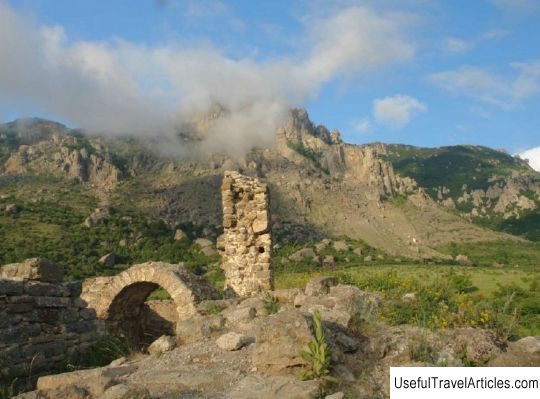
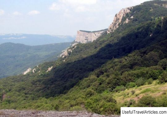
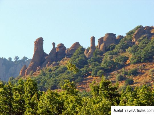
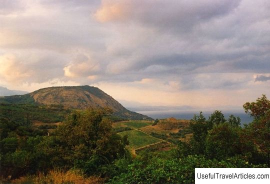
Funa fortifications description and photos - Crimea: Alushta. Detailed information about the attraction. Description, photos and a map showing the nearest significant objects. Photo and descriptionThe Funa Fortress is a medieval outpost of Theodoro Principality. This fortress is located on the western side of the South Demerdzhi mountain on a rocky hill. Translated from Greek, the name of the fortress sounds like "smoky". In the old days, Mount Demerdzhi also bore the name "Funa". The fortification Funa is a monument of archeology and architecture and is located two kilometers north of the village of Luchistoye, you can drive to it from the city of Alushta, from where, directly from the bus station, there is a regular bus. Also, if you go in the direction of Radiant, just below the Kutuzovsky fountain, there is an asphalt road. Two kilometers before the village, at the rocky western cliffs of Demerdzhi, you can see the ruins of a medieval fortification. Over the ruins left from its defensive walls, you can see a semicircular protrusion - the apse. In former times, the altar of the fortress church was located here, which was preserved until the thirties of the last century, and residential buildings were located nearby, which today are heaps of stones. About three hundred meters north of the fortification is the burials of the inhabitants of the fortress and the village of Funa. The Funa fortress was first mentioned in 1384. At that time, she was an outpost of the principality of Theodoro and had an important military purpose. In the Middle Ages, near the fortress there was a trade route from Alushta (Aluston) and Gurzuf (Gorzuvit) to the steppe Crimea. At the foot of Mount Demerdzhi, settlements did not arise by chance, the main reason was the presence of a busy road. Having examined the settlements, archaeologists came to the conclusion that its occurrence dates back to the fifth or early sixth century. After the coast of Crimea was captured by Genoa from Kafa to Chembalo, several fortresses were built by the princes of Theodoro opposite the fortresses of the Genoese. These fortresses held back and controlled the enemy's advances across the Crimean Peninsula, and also served as bridgeheads for capturing coastal cities. The Theodorites were forced to take such actions, as they fought with the Genoese for the right to possess the coast. The Funa fortress was an eastern border outpost, which both opposed the Genoese fortress located on the territory, and controlled one of the most important caravan routes from the Crimea to the coast. Despite the efforts of scientists, Funa still remains a mystery in many ways, since the written sources about her are rather scarce. Only the patriarchal letters of 1384 mention Funa as one of the subjects of dispute between the metropolitans of Gotha, Sugdei and Kherson. Also, this settlement is mentioned in church records dating back to 1836, as a result of a survey of Greek immigrants from the Crimea to the Mariupol district. Today, the Funa fortification is a ruin made of heaps of stones. Both the front yard and the two-story church disappeared under them. Instead of Funa with her residential houses, taverns and shops, there was only a lonely fragment of the church apse, which hung over a large garden by the road to the yayla.      We also recommend reading Karasan Palace description and photo - Crimea: Alushta Topic: Funa fortifications description and photo - Crimea: Alushta. |