Royal Mile description and photos - Great Britain: Edinburgh
Rating: 7,8/10 (6894 votes) 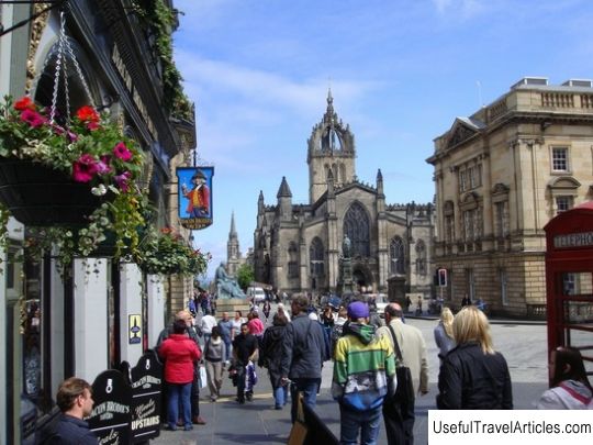
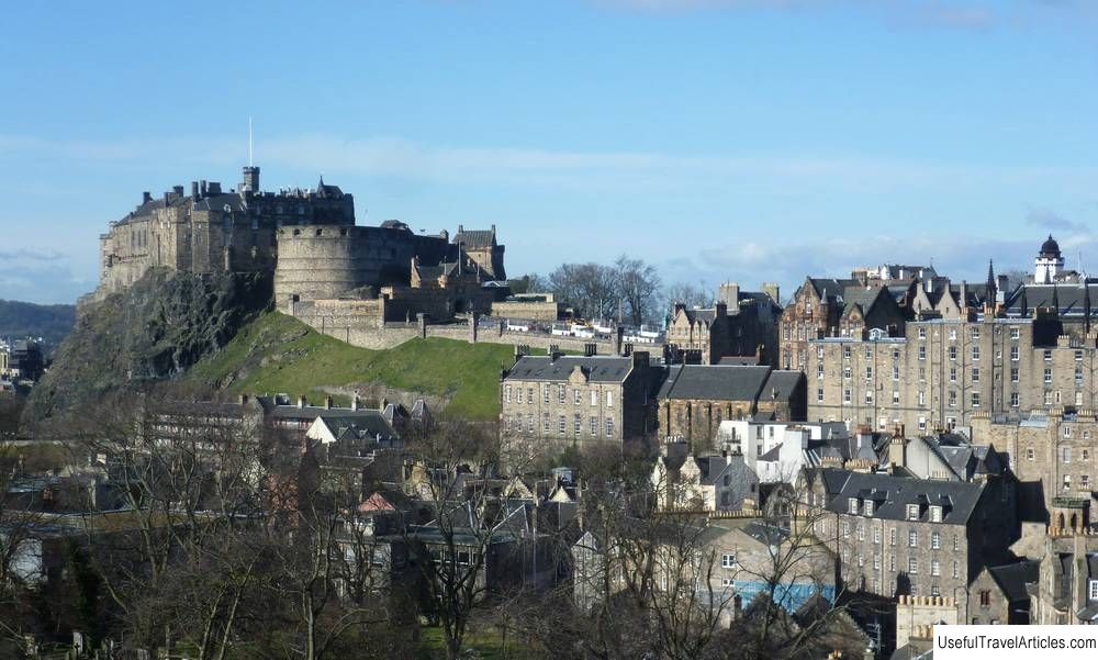
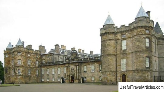
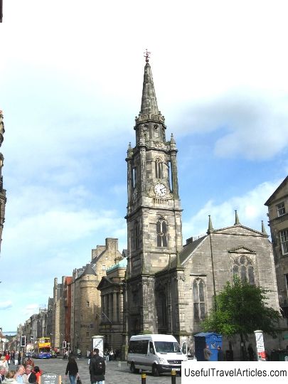
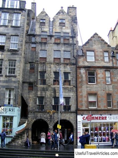
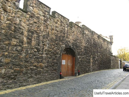
Royal Mile description and photos - Great Britain: Edinburgh. Detailed information about the attraction. Description, photographs and a map showing the nearest significant objects. The name in English is Royal Mile. Photo and descriptionThe Royal Mile is a few streets in the heart of Edinburgh. As the name suggests, these streets are approximately one Scottish mile (~ 1800 meters) long. The Royal Mile connects the two main historical sights of the ancient capital - Edinburgh Castle, located on Castle Hill, and Holyrood Palace, the seat of the Scottish and later British monarchs. The Royal Mile begins on the Castle Esplanade, set up in the 19th century for military parades near Edinburgh Castle. It is now the site of the annual Edinburgh Festival. A cannonball really got stuck in the wall of the House with a Cannonball - they say it was an accidental shot from a castle cannon. Castelhill leads down from the Castle Esplanade, a small street home to the Camera Obscura and World of Illusion, the Edinburgh Festival Board and the Assembly Hall of the Church of Scotland. Next is the Lawn Market - a street where tourists will find many souvenir shops. & Nbsp; From the Lawn Market we find ourselves on the High Street - the center of the Edinburgh Festival, during which the street is crowded with street performers, onlookers and tourists. On the left side - the building of the Supreme Court, on the right - Parliament Square, where the Cathedral of St. Giles stands. Near the eastern entrance to the cathedral, on the cobblestones, the Heart of Midlothian is laid out in stone - an image marking the place where the city outpost used to be - the administrative, tax and judicial center of the city. When the building was demolished, the townspeople got into the habit of not giving a damn about the place where it stood. The city authorities decided to put an image of the heart on this place - but this only led to the fact that now the townspeople are trying to hit the center with a spit. Tourists are presented with an ennobled legend: they say, they spit on luck, but in fact this tradition represents just disrespect for the authorities. The middle of the Royal Mile is the intersection with bridges. The North Bridge leads to the left into New Town on Princes Street. To the right is the South Bridge, where it is very difficult to see the bridge - it looks like an ordinary street with rows of shops on both sides. The Edinburgh cellars are hidden under the bridge, which can be reached with a guided tour. Behind John Knox's house, the old city boundaries end. Once upon a time there was a fortified city gate called Nezerbow. Behind them began the domain of Holyrood Abbey, which is reflected in the name of the next part of the Royal Mile, Canongate Street ("canon" English - church, canonical). Scottish kings often preferred to live in Holyrood Abbey rather than the gloomy Edinburgh Castle, and in the early 16th century, King James IV built a palace adjacent to the abbey. The palace is now the official residence of Elizabeth II in Scotland.       We also recommend reading Jenolan Caves description and photos - Australia: Sydney Topic: Royal Mile description and photos - Great Britain: Edinburgh. |