Brisbane Forest park description and photos - Australia: Brisbane and the Sunshine Coast
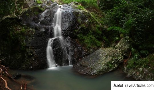
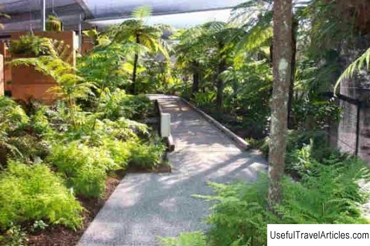
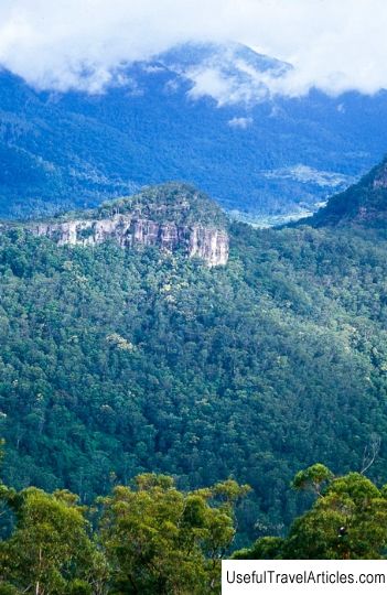
Brisbane Forest park description and photos - Australia: Brisbane and the Sunshine Coast. Detailed information about the attraction. Description, photographs and a map showing the nearest significant objects. The name in English is Brisbane Forest park. Photo and descriptionBrisbane Forest Park is today part of the D'Aguilar National Park, located on the mountain range of the same name at the western end of Brisbane. A large nature reserve is located in the Enogger river basin near the Mount Coot-ta nature reserve. The forest park is home to several waterways in the region, including the South Pine River, Enogger Creek, Gold Creek, Moggill Creek and its tributaries, the Gap Creek, Cabbage Creek and Cedar Creek. There are also Manchester Lakes and the Gold Creek and Enogger dams. The first national park on the D'Aguilar ridge - "Mayala" - was founded in 1930 by the public group "Brisbane National and Recreational Park Trustees". In 1973, the group began exploring the possibility of creating a park between Mount Coot-ta and Mount Nibo. Initially, the Brisbane City Council considered it impossible to open a public recreational area in an area that provided water for the entire city. To resolve the contradictions, a coordinating committee was created, and in 1977 a Parliamentary Decree declared an area of 25 thousand hectares as a protection zone. In 2009, Brisbane Forest Park was renamed and became one of two sections of the D'Aguilar National Park. At the Bay Walk Wildlife Center (located at the entrance to the forest park on the road to Mount Nibo), you can learn about the wildlife of Australia, visit the bird's-door aviary, an aquarium and enclosures with animals, including nocturnal representatives of the Australian fauna. Here you can see local birds, platypus, sugar flying possum, wallaby, wombat, giant marsupial flying squirrel, speckled marsupial marten, large marsupial rat, snakes, lizards, turtles and fish. For a walk through the forest park, you can choose one of the many trails, laid in such a way as to protect nature and at the same time allow visitors to get to know it better. The road to Greens Falls leads through the rain forest to the top of the falls.
     We also recommend reading Kurtyaevo tract description and photos - Russia - North-West: Arkhangelsk region Topic: Brisbane Forest park description and photos - Australia: Brisbane and the Sunshine Coast. |
