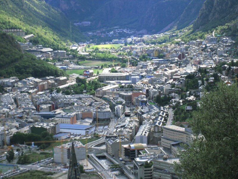
Andorra la Vella — capital of Andorra. The city is located in the Eastern Pyrenees at 1055 m above sea level on the Valira River. The main trade and transport transit route passes through it, on which enterprises for the production of food, clothing, souvenirs and are located. The highway connects Andorra la Vella with Spain and France. The city itself is a major tourist center with free trade zone.
A kind of continuation of the capital is the city of Escaldes (1029 m), with Andorra la Vella it connected by a bridge across the river. Not far from the capital there is a ski area, to get from it to Soldeu — El Tarter can be 30 minutes by bus, to get from the capital to Ordino you will need to cover the distance of 8.5 km, to Pal-Arinsal — 12 km. You can get to the capital from Barcelona Airport (200 km Spain), Toulouse (195 km France) or Carcassonne (176 km France).